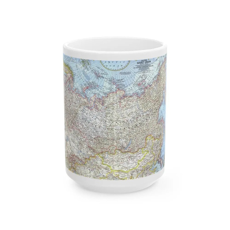
Russia - Eastern Soviet Union (1967) Map The "Russia - Eastern Soviet Union (1967)" map is a cartographic representation of the eastern region of the Soviet Union during that year. The map provides geographical details such as borders, topography, cities, and bodies of water within the specified area at the given time. This particular map offers insights into the political and geographical landscape of the Soviet Union's eastern territories during 1967. It serves as an historical artifact, offering valuable information for students, historians, and anyone interested in studying the geopolitical climate of that era.
Express delivery and return policies
Free shipping on orders over $30
Processing time: 1-2 Days
Shipping time: 3-5 Days(According to the logistics method and delivery address)
Items can be returned or exchanged within 30 days !